WMO Maps

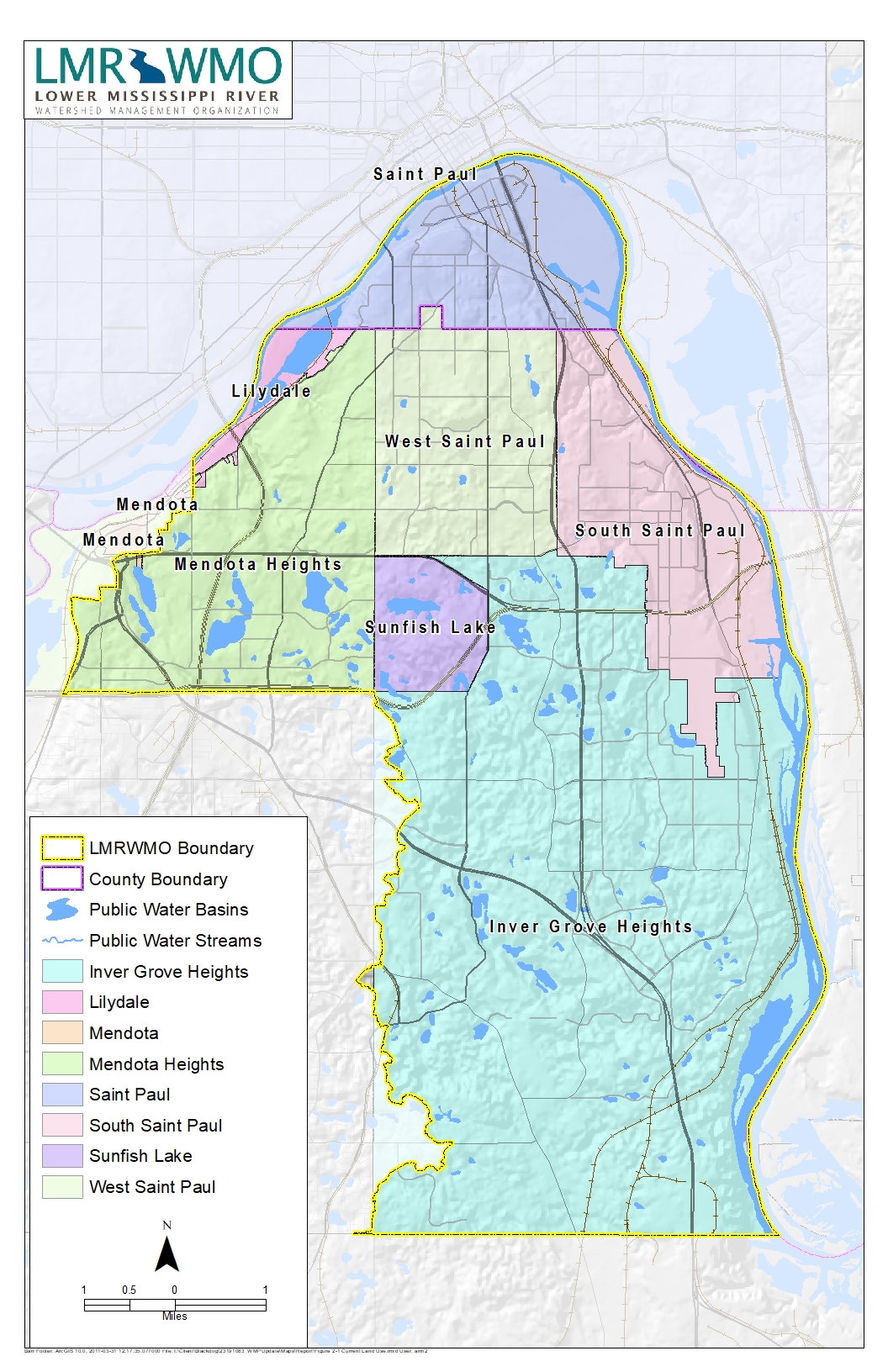
The Lower Mississippi River Watershed Management Organization (LMRWMO) is located in the southeast part of the Twin Cities metropolitan area, in northern Dakota County and southern Ramsey County. The LMRWMO abuts the south and west sides of the Mississippi River, from the Mississippi River’s confluence with the Minnesota River to Rosemount.

The LMRWMO covers 35,493 acres (55.8 square miles) and is composed of seven cities partially or wholly within the organization’s boundaries.

Lower Mississippi River Watershed Map

Click the map or the button below to download a pdf of the Lower Mississippi River Watershed area map.

Landscaping for Clean Water Projects

Did you know that you can view recent activities and projects happening in your watershed? Check out our interactive map by clicking the link below to start exploring!

Find Your Watershed

Find out if you live within the Lower Mississippi River WMO or a nearby watershed. Check out our interactive map by clicking the link below to start exploring!

HAVE QUESTIONS?

We are here to help with your watershed management needs.