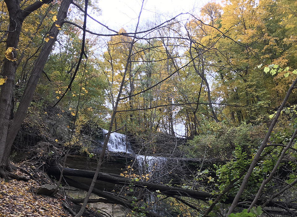
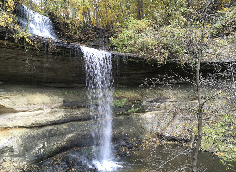
The Ivy Falls Creek watershed is in the cities of Mendota Heights and West St. Paul within the Lower
Mississippi River Watershed Management Organization (LMRWMO). The watershed consists of the mainstem
of Ivy Falls Creek and a small tributary that joins just above the falls. Land use within the watershed is
primarily residential with some parkland golf course property.
Statistics
| Mainstem Length | 1.2 Miles |
| Unnamed Tributary Length | 0.2 Miles |
| Watershed Size | 746 Acres |
| Major Watershed | Mississippi River |
| Impairment | None |
| Year’s Monitored | 2 |

Water Monitoring Data
A volunteer takes water samples from Ivy Falls Creek and the main tributary for lab analysis. The purpose is to identify stream reaches that contribute pollutants and establish baseline stream water quality conditions.
See water monitoring reports for more information.
Contact the LMRWMO Administrator for information on becoming a water quality monitor for a nearby lake or stream.
Creek Impairments
None
Next Steps
The creek will continue to be monitored to track water quality.

