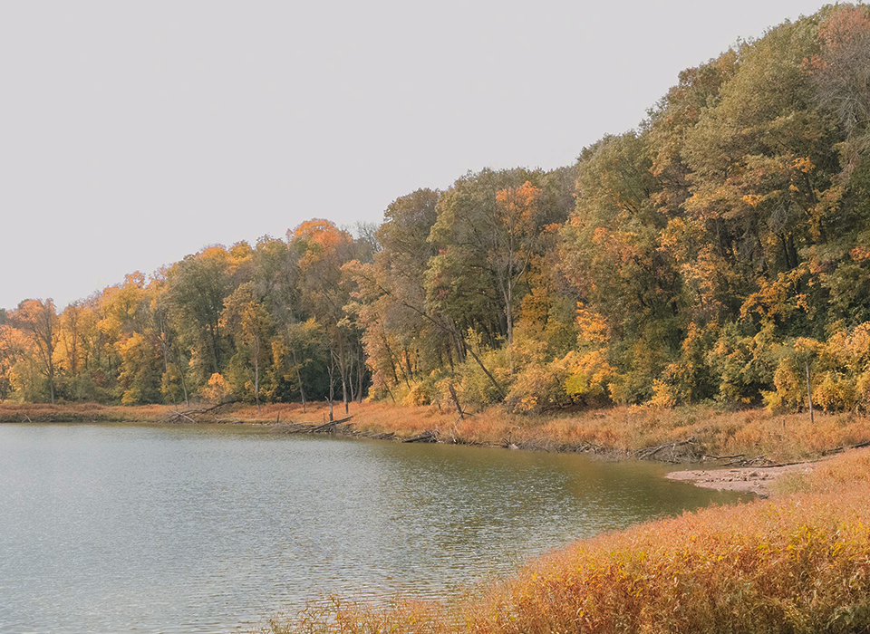
Seidls Lake is located in the Cities of Inver Grove Heights and South Saint Paul, within the
Lower Mississippi River Watershed Management Organization (LMRWMO).
Land use within the watershed is primarily residential with a portion of the
west watershed covered by a golf course and a portion of Highway 52.
Statistics
| Maximum Depth | 17 Feet |
| Lake Size | 4.7 Acres |
| Watershed Size | 420 Acres |
| Lake Classification | Shallow |
| Metro Council Lake Grade | C |

Water Monitoring Data
The LMRWMO partners with the Metropolitan Councils Citizen Assisted Monitoring Program
See recent water monitoring reports for more information.
Contact the LMRWMO Administrator for information on becoming a water quality monitor for a nearby lake or stream.
Lake Impairments
Water quality was drastically reduced in 2022 compared to sampling results from 2021. Due to construction in the near shore area, in-lake water quality may have been impacted as bottom sediment was disturbed or runoff entered the lake. Lake access issues also limited the number of samples collected, reducing the dataset and preventing a holistic picture of Seidl’s current water quality. See the Water Monitoring Reports for details.
Next Steps
The lake will continue to be monitored to track water quality.
Water Monitoring Reports
Projects Implemented
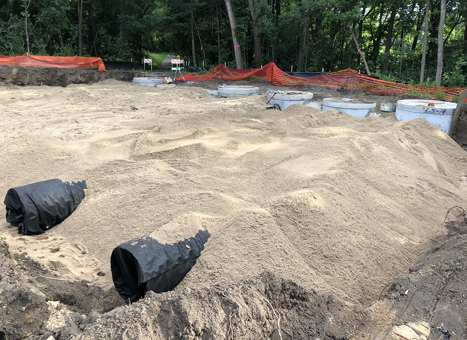
The LMRWMO partnered with the City of South St. Paul
to install large buried pipes in 2018 to clean and infiltrate
stormwater before entering the Lake.
A lake outlet project to maintain consistent water
levels was completed in 2022 and a natural shoreline
restoration project was planned for 2023.

2018 Stormwater Project
